United States
£ GBP
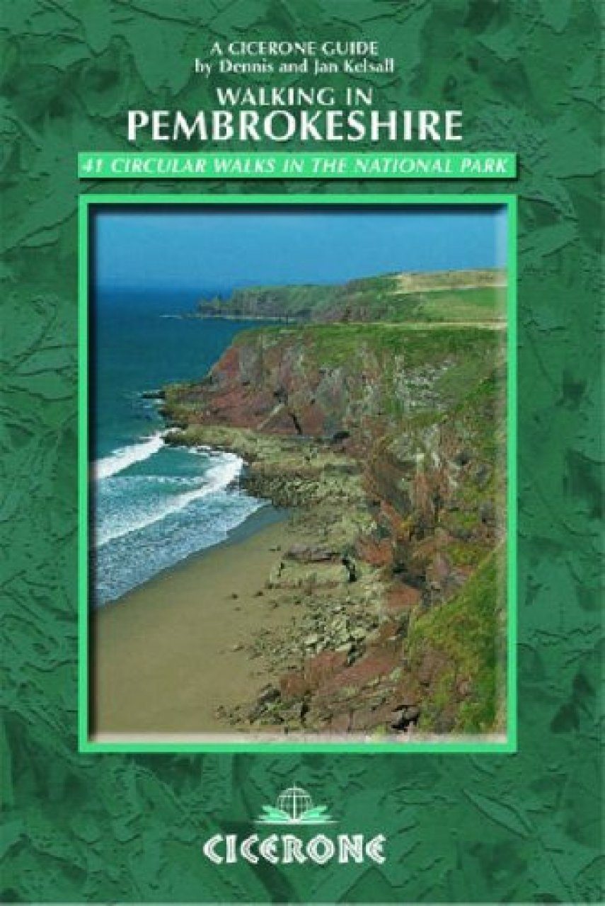
The spectacular coastal scenery of Pembroke's national park is only one of the county's many facets explored in this collection of 40 varied and interesting walks. The routes take you through the Preseli Hills (from which ancient man took the 'bluestones' for Stonehenge), the Daugleddau's hidden tidal reaches (once busy with coal barges), deep wooded gorges (whose fast-flowing streams powered long-forgotten mills), prehistoric hill forts, medieval castles, isolated churches and many intriguing places that await discovery. With 40 routes ranging between 2 and 12 miles (20 km), there is something for everyone, often incorporating places to visit or a welcoming pub or cafe en route.
Introduction
Part I – Walks along the Coast
1 Amroth and Pleasant Valley 4.5 miles (7.2km)
2 Manorbier 2.5 miles (4km)
3 Bosherston and the Lily Ponds 1.75 miles (2.8km)
4 Stackpole and the Lily Ponds 5 miles (8km)
5 The Angle Peninsula 9.75 miles (15.7km)
6 The Dale Peninsula 6.5 miles (10.5km)
7 Marloes Sands and the Deer Park 6.5 miles (10.5km)
8 St Brides and Musselwick 4.5 miles (7.2km)
9 St David’s and St Non’s 3 miles (4.8km)
10 Ramsey Sound 7 miles (11.3km)
11 St David’s Head and Carn Llidi 4.25 miles (6.8km)
12 Around Ynys Barry 3.75 miles (6km)
13 Porthgain 3 miles (4.8km)
14 Aber Mawr and Penmorfa 3.25 miles (5.2km)
15 Aber Mawr and Aber Bach 2.5 miles (4km)
16 Strumble Head 12.5 miles (20.1km)
17 Dinas Island 3 miles (4.8km)
18 Ceibwr and Pwllygranant 5.5 miles (8.9km)
Part II – Walks in the Preseli Hills
19 Foel Eryr 2.5 miles (4km)
20 Foel Cwmcerwyn 5 miles (8km)
21 Carn Menyn and the ‘Bluestones’ 6 miles (9.7km)
22 Foeldrygarn 4.25 miles (6.8km)
Part III – Walks around the Daugleddau
23 Cresswell Quay and Lawrenny 7.75 miles (12.5km)
24 Landshipping Quay 4.25 miles (6.8km)
25 Little Milford Wood and the Western Cleddau 5.25 miles (8.4km)
26 Minwear Wood 4.5 miles (7.2km)
27 Blackpool Mill and Slebech Church 4.5 miles (7.2km)
Part IV – Rivers, Woodland and a Lake
28 Carew Castle and Mill 1.25 miles (2km)
29 Kilgetty 6 miles (9.7km)
30 Canaston Wood 5.25 miles (8.4km)
31 Llawhaden 6.5 miles (10.5km)
32 Great Treffgarne Mountain 4.5 miles (7.2km)
33 Treffgarne Gorge 4.25 miles (6.8km)
34 Llys-y-frân Reservoir 6.25 miles (10.1km)
35 Rhydwilym 3.75 miles (6km)
36 Cwm Gwaun 4 miles (6.4km)
37 Coed Cl?n and Coed Kilkiffeth 1.75 miles (2.8km)
38 Coed Pontfaen 3 miles (4.8km)
39 Mynydd Caregog and Carn Ingli 7 miles (11.3km)
40 Pentre Evan Nature Reserve 5.25 miles (8.4km)
41 Cilgerran and the Teifi Marshes Nature Reserve 3.5 miles (5.6km)
Appendix – Useful Information
Both natives of Lancashire and living not far from Preston, Dennis and Jan Kelsall are no strangers to the Ribble Way and the splendid countryside through which it runs. As professional outdoor writers and photographers, they have written and illustrated many guides covering some of the country's most popular walking areas. They also contribute to various magazines, as well as producing a weekly walking feature for the Lancashire Evening Post. Their enjoyment of the countryside extends far beyond a love of fresh air and open spaces and an appreciation of scenery. They also have a keen interest in the environment and its geology, flora and wildlife, as well as a passion for the local history that so often provides clues to interpreting the landscape.