To see accurate pricing, please choose your delivery country.
 
 
United States
£ GBP
All Shops

British Wildlife

8 issues per year 84 pages per issue Subscription only

British Wildlife is the leading natural history magazine in the UK, providing essential reading for both enthusiast and professional naturalists and wildlife conservationists. Published eight times a year, British Wildlife bridges the gap between popular writing and scientific literature through a combination of long-form articles, regular columns and reports, book reviews and letters.

Subscriptions from £33 per year

Conservation Land Management

4 issues per year 44 pages per issue Subscription only

Conservation Land Management (CLM) is a quarterly magazine that is widely regarded as essential reading for all who are involved in land management for nature conservation, across the British Isles. CLM includes long-form articles, events listings, publication reviews, new product information and updates, reports of conferences and letters.

Subscriptions from £26 per year
Academic & Professional Books  Natural History  Regional Natural History  Natural History of Africa

The Tourist Map of Kilimanjaro National Park, Tanzania 2009/2010

By: Veronica Roodt(Author)
colour photos, colour maps, scale 1 : 160 000, size unfolded 84 × 60 cm (W × H)
The Tourist Map of Kilimanjaro National Park, Tanzania 2009/2010
Click to have a closer look
  • The Tourist Map of Kilimanjaro National Park, Tanzania 2009/2010 Not in stock: Usually dispatched within 2-3 weeks
    £11.25
    #211587
Price: £11.25
About this product Customer reviews Related products

About this product

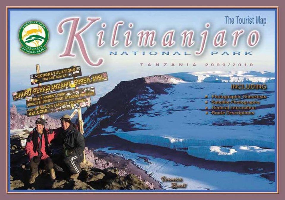
Kilimanjaro National Park is in northern Tanzania. This map also consists of satellite photos as a backdrop to the roads etc. Each route has been described in detail to enable the reader to plan their climb and to decide which climb to do. There are various degrees of fitness required for certain routes and those are indicated on the map. All the huts and camps are indicated on the map. There are enlarged satellite maps of the top of the mountain, which shows the localities and names of the glaciers. There are enlarged satellite maps of the top of the mountain, which indicate. There is an animal, bird and plant checklist on the back, indicating the most common species to be encountered. There is information about the mountain, the geology, history and climate. There is also a section on planning the climb, what you can expect on the mountain, what you should take along, health precautions, what kind of food to pack etc.

Customer Reviews

By: Veronica Roodt(Author)
colour photos, colour maps, scale 1 : 160 000, size unfolded 84 × 60 cm (W × H)
Current promotions
New and Forthcoming BooksNHBS Moth TrapBritish Wildlife MagazineBuyers Guides