United States
£ GBP
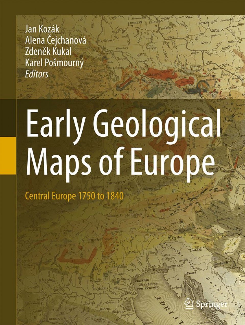
Early Geological Maps of Europe focuses on the presentation and evaluation of geological maps of the Central Europe from 1750 up to 1840. Milestones in presentation of stratigraphy and tectonics and new geological models on such maps will be underlined. Map descriptions contain fundamentals editorial data as well as the map author's affiliation and biographies. It represents for the region of the Central Europe the first work of this type. Geological maps represent geological synthesis and indicate the level of geological knowledge throughout history. They serve as guidelines for an economic utilization of mineral deposits and further geological investigation.
- Foreword
- Introduction
- Table of treated and reproduced early geological maps of Central Europe
- Outline of the geological evolution of the Central Europe
- The Atlas
- Further advancement of geology in Central Europe
- Indexes
- References
RNDr. Jan T. Kozák PhD, (1938), graduated from Charles University (mathematics and physics) and has been associated with the Institute of Geophysics at the Czech Academy of Science in Prague since 1965. In addition to his main professional fields (observatory seismology, rotational seismic effects) he has been increasingly involved in the history of natural sciences in the context of Earth's dynamical manifestations. He has been awarded numerous Czech and international projects, including two Czech-US three-year projects on historical seismicity. He is the author of more than two hundred original research papers and several cin the field of historical seismology, volcanology and geological cartography.
Alena Čejchanová, (1956), graduated from Charles University in Prague (geology, geochemistry) and is head of the specialized archive at the Czech Geological Survey in Prague. Her main expertise lies in the field of geology, analysis of various specialized documents, database processing and access. Her interests include the history of geology and geological mapping, especially in Central Europe, and she has published numerous scientific papers on these subjects.
Prof. RNDr. Zdeněk Kukal (1932), graduate of Charles University, Prague (Geology, petrology and mineralogy) and former director the Czech Geological Survey, Prague. He was also professor of geology of Kuwait and Baghdad universities. An expert in sedimentology; regional, structural, environmental and marine geology as well as the history of geosciences in the Czech lands, he is the author of about 300 scientific papers, 30 scientific textbooks (on sedimentology, environmental geology, building stones, structural geology, history of geology) and books on popular science (Atlantis, marine geology, Earth's landscape, and stones and humans).
Karel Pošmourný (1938), received his (Rer.Nat. Dr.) degree and PhD from the Faculty of Science, Charles University in Prague. Since 1963 he has worked at the Central Geological Institute (now the Czech Geological Survey - CGS), and since 1992 he has been associated with the Czech Republic Ministry of Environment. His major fields of interest include the regional geology of the Bohemian Massif, economic geology and environmental geology, but he is also involved in comprehensive studies of the history of geological mapping and in geo-sciences in general. He has published more than 300 scientific papers and professional reports in the Czech Republic and abroad. He has collaborated for many years with geological institutions in Central and Eastern Europe as well as in Canada, including the Geological Survey of Austria where he received a title of Honorary Correspondent.