United States
£ GBP
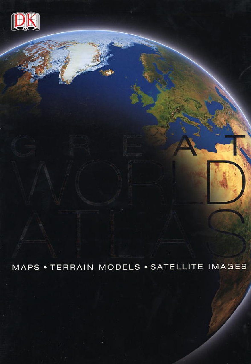
Combining global satellite imagery with unique mapping technology and packed with detailed information on key topics, including industry, natural resources, agriculture and communications, this is an invaluable source of reference. It features an 80,000 cross referenced index gazeteer, 80 continental maps, 96 large-scale regional maps and over 750 colour photographs.


![Die Kosmos Kanarenflora [The Kosmos Canary Islands Flora]](http://mediacdn.nhbs.com/jackets/jackets_resizer_medium/24/240846.jpg?height=150&width=103)


![Atlas Européen de la Biodiversité des Sols [European Atlas of Soil Biodiversity]](http://mediacdn.nhbs.com/jackets/jackets_resizer_medium/18/188326.jpg?height=150&width=103)


