To see accurate pricing, please choose your delivery country.
 
 
United States
£ GBP
All Shops

British Wildlife

8 issues per year 84 pages per issue Subscription only

British Wildlife is the leading natural history magazine in the UK, providing essential reading for both enthusiast and professional naturalists and wildlife conservationists. Published eight times a year, British Wildlife bridges the gap between popular writing and scientific literature through a combination of long-form articles, regular columns and reports, book reviews and letters.

Subscriptions from £33 per year

Conservation Land Management

4 issues per year 44 pages per issue Subscription only

Conservation Land Management (CLM) is a quarterly magazine that is widely regarded as essential reading for all who are involved in land management for nature conservation, across the British Isles. CLM includes long-form articles, events listings, publication reviews, new product information and updates, reports of conferences and letters.

Subscriptions from £26 per year
Academic & Professional Books  Natural History  Biography, Exploration & Travel

Land Navigation Handbook The Sierra Club Guide to Map, Compass & GPS

Handbook / Manual Out of Print
By: WS Kals
248 pages, 21 b/w photos, 43 b/w illus, 12 maps, 8 tables, colour topo foldout map
Land Navigation Handbook
Click to have a closer look
  • Land Navigation Handbook ISBN: 9781578051229 Edition: 2 Paperback Apr 2011 Out of Print #154498
About this book Related titles

About this book

Although designed for use in North America, this handbook will be valuable to travellers around the world.

From the publisher's announcement:

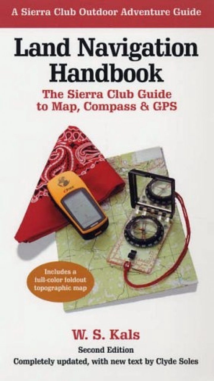
Sooner or later any outdoor enthusiast will need more than trail markers for guidance. This best-selling manual--now thoroughly revised and updated--is designed for anyone who wants to chart a course in the wilderness: hiker, backpacker, snowshoer, skier, fisherman, or hunter. Step by step, it teaches the skills that enable you to answer the vital questions: Where am I now? Which way do I head to reach my destination? How far is it? And how long will it take me to get there?

Starting with the basics of interpreting maps and orienting by compass, the book proceeds clearly through the more advanced mysteries of land navigation: measuring distances and estimating travel times; determining and adjusting for

local declination around the globe; using an altimeter to add the dimension of height to one's position; and navigation by means of sun and stars. In updating the late W. S. Kals's text, coauthor Clyde Soles focuses on the latest developments in technology and equipment. Readers learn, for example, that through digital mapping software, one can order the exact area desired, at any scale, and print it on waterproof paper. Soles also surveys the popular new handheld GPS units and instructs in their use, and provides an overview of marine navigation for the growing sport of sea kayaking. Visuals include a full-color foldout topographic map for reference and practice, plus dozens of helpful drawings and photographs.

Customer Reviews

Handbook / Manual Out of Print
By: WS Kals
248 pages, 21 b/w photos, 43 b/w illus, 12 maps, 8 tables, colour topo foldout map
Current promotions
New and Forthcoming BooksNHBS Moth TrapBritish Wildlife MagazineBuyers Guides