United States
£ GBP
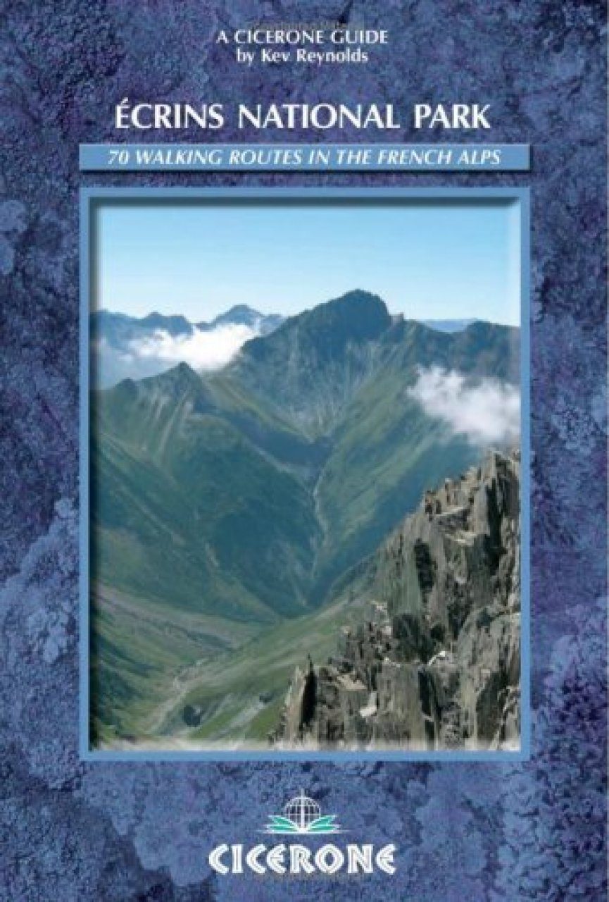
The Écrins National Park contains some of the most spectacular mountain scenery in the whole Alpine range. Easily accessible by public transport or car, and with several charming valleys in which to make a base (including the Romanche, Guisane, Vallouise, Valgaudemar and Veneon valleys), this largest national park in France offers an unrivalled selection of walks – each one revealing awesome views. Kev Reynolds has picked 70 of the best routes from some of the finest valleys, enough to keep any active walker content for several holidays. Located southeast of Grenoble and unequally split between the departments of Isere and Hautes-Alpes, the Parc National des Écrins is the largest in France, covering an area of 92,000 hectares (227,332 acres), with a peripheral zone nearly twice that size. This is mountain country par excellence, with the highest peaks forming a block at the very heart of the range, and a diverse assortment of valleys surrounding or spreading from it.
Introduction
The Valleys of the Écrins
The Parc National des Écrins
Getting There
Accommodation
Weather
Notes for Walkers
Suggested Equipment List
Recommended Maps
Using the Guide
General Information
Vallée de la Romanche
Introduction
Main Valley Bases
Other Valley Bases
Mountain Huts
1 Huez – Le Rosay – Bourg d'Oisans
2 Barrage du Chambon – Cuculet – Barrage du Chambon
3 Barrage du Chambon – Dôme du Lac Noir
4 La Grave – Les Terraces – Le Chazelet
5 Le Chazelet – Plateau d'Emparis – Lac Noir
6 La Grave – Signal de la Grave – La Grave
7 La Grave – Lac du Goléon
8 La Grave – Lac du Pontet – La Grave
9 La Grave – Les Fréaux – La Grave
10 La Grave – Refuge Evariste Chancel
11 Gare de Peyrou d'Amont – Lac de Puy Vachier
12 Refuge Evariste Chancel – Chal Vachère – La Grave
13 La Grave – Puy Vachier – La Grave
14 La Grave – Villar d'Arène – La Grave
15 Villar d'Arène – Refuge de l'Alpe de Villar d'Arène
16 Col du Lautaret – Refuge de l'Alpe de Villar d'Arène
17 Villar d'Arène – Sources de la Romanche
18 Refuge de l'Alpe – Refuge Adèle Planchard
19 Refuge de l'Alpe – Refuge du Pavé
20 Refuge de l'Alpe – Col d'Arsine
21 Col d'Arsine – Lac du Glacier d'Arsine
22 Villar d'Arène – Col d'Arsine – Le Casset
Vallée de la Guisane
23 Le Lauzat – Grand Lac – Le Lauzat
24 Monêtier – Col de l'Eychauda – Ailefroide
Vallée de la Vallouise
Introduction
Main Valley Bases
Other Valley Bases
Mountain Huts
25 Entre les Aygues – Refuge de la Chaumette
26 Entre les Aygues – Refuge des Bans
27 Entre les Aygues – Collette du Rascrouset – Ailefroide
28 Chambran – Lac de l'Eychauda
29 Chambran – Col de l'Eychauda
30 Vallouise – Torrent de Gyronde – Vallouise
31 Vallouise – St-Antoine – Ailefroide
32 Ailefroide – Tête de la Draye
33 Ailefroide – Bosse de Clapouse
34 Ailefroide – Refuge du Pelvoux
35 Ailefroide – Refuge du Sélé
36 Ailefroide – Pré de Madame Carle
37 Pré de Madame Carle – Glacier Noir
38 Pré de Madame Carle – Refuge du Glacier Blanc
Valgaudemar
Introduction
Main Valley Base
Other Valley Bases
Mountain Huts
39 Vallée de Champoléon – Refuge de Vallonpierre
40 Refuge de Vallonpierre – La Chapelle-en-Valgaudemar
41 Refuge du Clot – Refuge de Vallonpierre
42 Ref de Vallonpierre – Refuge de Chabournéou
43 Chalet du Gioberney – Lac de Lauzon – Gioberney
44 Chalet du Gioberney – Refuge du Pigeonnier
45 La Chapelle-en-Valgaudemar – Refuge de l'Olan
46 La Chapelle-en-Valgaudemar – Lacs de Pétarel
47 Villar-Loubière – Refuge des Souffles
48 Refuge des Souffles – Col de la Vaurze
49 Le Désert – Col de Côte Belle – Valsenestre
50 Valsenestre – Col de la Muzelle – Refuge de la Muzelle
Vallée du Vénéon
Introduction
Main Valley Bases
Other Valley Bases
Mountain Huts
51 Bourg d'Arud – La Danchère
52 La Danchère – Lac Lauvitel
53 Bourg d'Arud – Refuge de la Muzelle
54 Refuge de la Muzelle – Lac Lauvitel – Bourg d'Arud
55 Pont du Plan du Lac – Vallon de Lanchâtra
56 St-Christophe-en-Oisans – Refuge de la Selle
57 St-Christophe-en-Oisans – Refuge de la Lavey
58 Champorent Parking – Refuge de la Lavey
59 Refuge de la Lavey – Lac des Beches
60 Champorent – Les Etages
61 Les Etages – Refuge du Soreiller
62 Les Etages – Vallon des Etages
63 Les Etages – La Bérarde
64 La Bérarde – Tête de la Maye
65 La Bérarde – Vallon de Bonne Pierre
66 La Bérarde – Refuge du Châtelleret
67 La Bérarde – Refuge du Plan du Carrelet
68 La Bérarde – Vallon du Chardon – La Bérarde
69 La Bérarde – Refuge du Temple-Écrins
70 La Bérarde – Refuge de la Pilatte
Appendix A Tour de l'Oisans: GR54
Appendix B Notes on Selected Peaks of the Écrins Region
Appendix C Useful Addresses
Appendix D Metric Conversions
Appendix E English-French Glossary
Route Index
Bibliography
Kev Reynolds is a freelance author, photojournalist and lecturer whose first title for Cicerone Press (Walks & Climbs in the Pyrenees) was published in 1978, and has been in print ever since. He has produced many books on the Alps, a series of trekkers' guides to Nepal and, nearer to home, several guides on walking in southern England. He also contributes regular features for the outdoor press, writes and illustrates brochures for tourist authorities, and occasionally leads walking or trekking holidays in various high mountain regions. The first honorary member of the British Association of European Mountain Leaders (BAEML), and a member of the Alpine Club, Austrian Alpine Club and Outdoor Writers' Guild, Kev's enthusiasm for the countryside in general, and mountains in particular, remains undiminished after a lifetime's activity. When not trekking or climbing in one of the world's great mountain ranges, Kev lives among what he calls 'the Kentish Alps', and during the winter months regularly travels throughout Britain to share that enthusiasm through his lectures.