United States
£ GBP
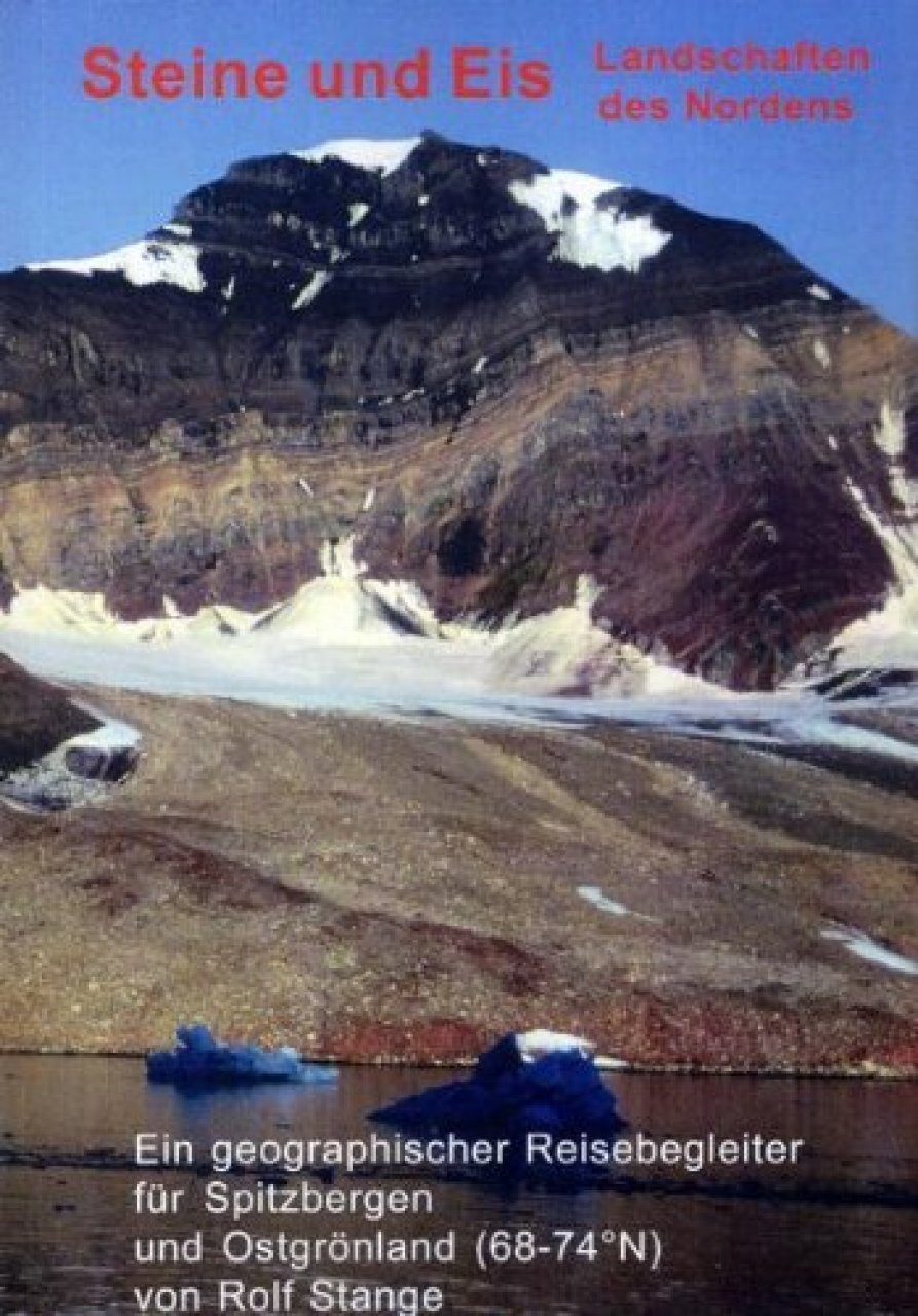
Language: German, also available in English
Why are some areas characterized by steep, pointed mountains and others lowlying and table-flat? How does a glacier work, what are typical traces of ice-age glaciation which are evident almost anywhere in the Arctic and Antarctica? What is a Pingo, how does frost-patterned ground evolve? Where were mines in Svalbard and East Greenland, what was mined?
Questions like these often come to mind while travelling the Arctic, specially as vegetation which is usually covering bedrock is scarce here, thus allowing to see the rocks, the »backbone« of all landscapes. Many processes left their traces during the course of earth history in the various landscapes we are travelling today. These landscapes provide the background of today's ecosystems, there we can find the wildlife and all the flowers we enjoy so much, and they set the scene for the exciting history which has taken place.
Literature answering those questions is scarce: scientific literature is not very useful for those among us who have not studied geology or physical geography, and general guidebooks usually only show that the author is not interested in the subject Steine und Eis: Landschaften des Nordens tries to fill this gap in literature, giving some basics and then a lot of information specially for the areas the author has travelled a lot: Svalbard and East Greenland (from Kejser Franz Joseph Fjord in the north to Kangerlussuaq in the south). Steine und Eis: Landschaften des Nordens is illustrated with many b/w photographs, maps, figures and colour plates, making it easy to read, although the amount of information makes it interesting even for trained geologists who are not yet familiar with the area.
Summary in German:
Warum ist es hier flach und dort gebirgig? Warum sind die Berge hier plateauförmig und dort spitz? Wie funktioniert das mit den Gletschern, woran ist erkennbar, dass diese und jene Gegend einmal viel stärker als heute vergletschert war? Wo gab es auf Spitzbergen Bergbau?
Fragen dieser Art drängen sich aufmerksamen Reisenden vor allem in Polargebieten auf, da diese aufgrund der weitgehend fehlenden Vegetation oft einen direkten Blick ins Innere der Landschaft freigeben. Literatur, in der sich Antworten auf diese Fragen finden, ist rar: Es gibt einmal Fachliteratur, die aber schwer erhältlich und ohne spezifisches Vorwissen meist nicht nachvollziehbar ist, und andererseits allgemeine Reiseführer, deren Kapitel über Geologie und Geographie aber meist nur belegt, dass der Autor sich für das Thema nicht interessiert.
Steine und Eis: Landschaften des Nordens versucht diese Lücke zu schließen, indem die notwendigen Grundlagen erläutert und darauf aufbauend vielerlei Informationen zur Inselgruppe Spitzbergen/Svalbard sowie Ostgrönland (68-74°N) gegeben werden, sowie – untergeordnet – auch zu Jan Mayen (zu Jan Mayen gibt es mittlerweile aus meiner Feder ein ganzes Buch, siehe hier). Durch 120 Schwarzweiß-Abbildungen (Fotos, Schemazeichnungen, Kartenskizzen) sowie 9 Seiten mit Farbbildern wird eine gute Lesbarkeit und Allgemeinverständlichkeit erreicht, verknüpft mit einem inhaltlichen Niveau und einer Fülle an Informationen, die das Buch auch für Fachleute interessant werden lässt.
Steine und Eis: Landschaften des Nordens wird durch ein Kapitel über Sicherheit und Naturschutz sowie einen umfangreichen Index abgerundet.


![Oman: Wunderland der Geologie [Oman: Wonderland of Geology]](http://mediacdn.nhbs.com/jackets/jackets_resizer_medium/21/211001.jpg?height=150&width=100)


![Grönland – Ein Kleiner Pflanzenführer: Von Kangerlussuaq bis zur Naresstrasse [Greenland – A Small Plant Field Guide: From Kangerlussuaq to the Nares Strait]](http://mediacdn.nhbs.com/jackets/jackets_resizer_medium/20/204268.jpg?height=150&width=105)


![Arktische Weihnachten: Das Fest des Lichts im Dunkel der Polarnacht [Arctic Christmas: The Feast of Light in the Darkness of the Polar Night]](http://mediacdn.nhbs.com/jackets/jackets_resizer_medium/23/238016.jpg?height=150&width=178)