United States
£ GBP
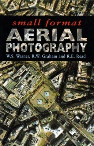
Small-format aerial photography provides a cheap alternative to conventional large-format aeiral survey. Small Format Aerial Photography forms a complete guide to aerial photography operations using small cameras. From the basics of mapping, measurement and photography to all technical details of planning a survey to numerous applications and case studies, Small Format Aerial Photography enables readers to understand all aspects of the subject. The readership catered for includes: professional and reference – practising engineers and applied scientists in geology geomorphology, surveying, civil engineering, forestry, urban planning, soil science, ecology, agriculture, hydrology and cartography; education – university and polytechnic libraries, advanced students and researchers in departments of civil engineering, earth sciences, remote sensing, photogrammetry and surveying; military and related – many Army and Air Forces employ light aircraft and helicopters for surveillance and the technique can be usd to some benefit in military and paramilitary applications.
- Geometry of a single photograph
- geometry of stereo photography
- mapping and measuring from single photographs
- stereoscopic mapping and measuring
- practical considerations
- survey techniques for small-format photography
- small-format instruments and photographic films
- electronic (digital) imagery
- camera platforms
- camera mounts
- mission planning
- operational procedures
- air-survey navigation
- multispectral photography
- urban survey
- small-format photogrammetric surveys
- small-format aerial photography for natural resources
- small-format aerial photography for the environment
- large-scale map revision from digital cameras