To see accurate pricing, please choose your delivery country.
 
 
United States
£ GBP
All Shops

British Wildlife

8 issues per year 84 pages per issue Subscription only

British Wildlife is the leading natural history magazine in the UK, providing essential reading for both enthusiast and professional naturalists and wildlife conservationists. Published eight times a year, British Wildlife bridges the gap between popular writing and scientific literature through a combination of long-form articles, regular columns and reports, book reviews and letters.

Subscriptions from £33 per year

Conservation Land Management

4 issues per year 44 pages per issue Subscription only

Conservation Land Management (CLM) is a quarterly magazine that is widely regarded as essential reading for all who are involved in land management for nature conservation, across the British Isles. CLM includes long-form articles, events listings, publication reviews, new product information and updates, reports of conferences and letters.

Subscriptions from £26 per year
Academic & Professional Books  Natural History  Regional Natural History  Natural History of the Americas

Washington State: Map for Columbia River Gorge National Scenic Area Oregon / Washington, USA

Series: Trails Illustrated Maps Volume: 821
By: National Geographic(Author)
1 pages, illustrations
Washington State: Map for Columbia River Gorge National Scenic Area
Click to have a closer look
  • Washington State: Map for Columbia River Gorge National Scenic Area Not in stock: Usually dispatched within 2-3 weeks
    £8.99
    #202010
Price: £8.99
About this product Customer reviews Related products

About this product

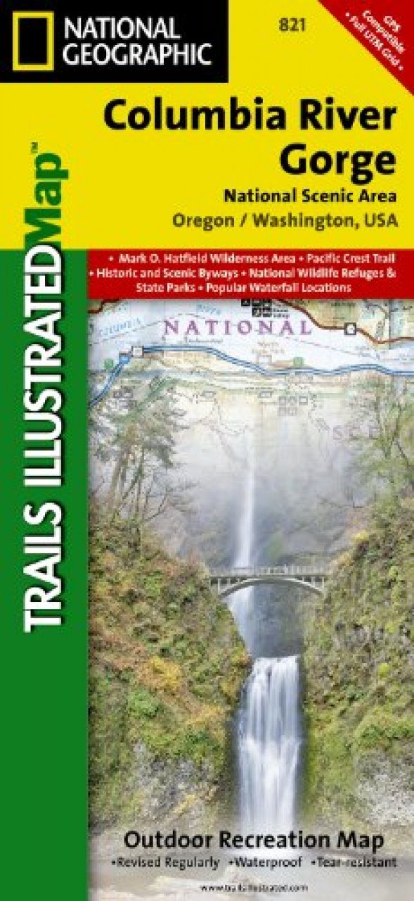
Considered one of the best year-round outdoor recreation areas in the country, the Columbia River Gorge contains countless opportunities for hikers, climbers, kayakers, cyclists, windsurfers, and winter sports enthusiasts alike. The 80 mile long gorge contains diverse ecosystems ranging from the lush Oneonta Gorge Rain Forest to the arid Celilo Grasslands. 

Our detailed Trails Illustrated recreation map of the Columbia River Gorge contains carefully researched trails, campsites, forest service roads, and points-of-interests and adjoins our Mt. Hood map. 

Backcountry users will find the UTM and Latitude/Longitude grids as well as other accurate navigation features perfect for exploring the region confidently and safely. 

Areas included on the map: 
- Mark O. Hatfield Wilderness Area 
- White Salmon, Klickitat, Sandy, and Lower Deschutes Wild and Scenic Rivers 
- Pacific Crest and Oregon Trails 
- Mount Hood, Columbia River Gorge, Historic Columbia River Highway, and Yakima Scenic Byways 
- Hood River County Northwest OHV Area 
- National Wildlife Refuges 
- Washington and Oregon State and County Parks, Forests and Recreation Areas 
- Popular Waterfall Locations 
- Recreation, Safety, Contact and Wilderness Permit Information 
- Overlap with the portions of the Gifford-Pinchot and Mount Hood National Forests 

Approximately 4.25" x 9.25" folded; 26" x 38" fully opened
Scale = 1:75,000

Customer Reviews

Series: Trails Illustrated Maps Volume: 821
By: National Geographic(Author)
1 pages, illustrations
Current promotions
New and Forthcoming BooksNHBS Moth TrapBritish Wildlife MagazineBuyers Guides