United States
£ GBP
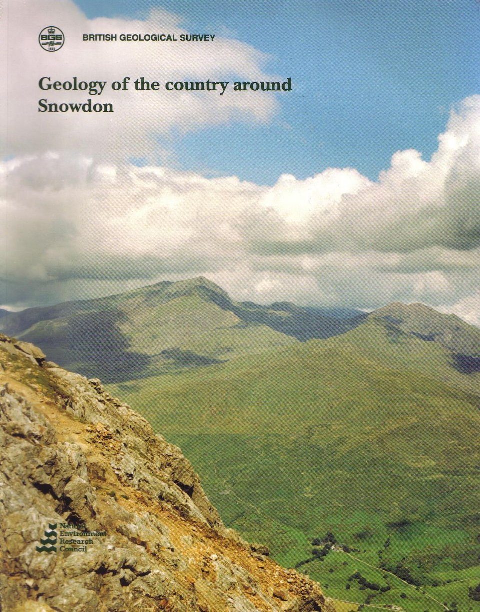
The Snowdon district lies close to the centre of the Snowdonia National Park and is formed of Cambrian and Ordovician sedimentary strata with a wealth of extrusive volcanic rocks and igneous intrusions. The resistant Ordovician volcanic strata and the associated intrusions dominate the highest ridges of the Snowdon massif whereas the lower and Iess rugged, but deeply dissected, areas in the south and west of the district are underlain by Cambrian sedimentary strata.
Lowest Cambrian turbidites and hemipelagites reflect a basinal deposition, upper Cambrian sandstone and silty mudstone indicate shelf conditions. Uplift and local emergence in early Ordovician times ended this period of basin development. Marine transgression and westwards overstep during Arenig times was followed by renewed subsidence and the widespread deposition of fine-grained sediments. In early Caradoc times, a central rift structure developed across the district which controlled the complex development of the Snowdon volcano. Volcanic activity was dominated by voluminous, acidic, ash- flow tuff eruptions and a major caldera developed close to a shoreline. Volcaniclastic rocks and lavas reflect shallow-marine reworking of small basaltic island volcanoes. At the cessation of the volcanic activity there was rapid subsidence and widespread deposition of black mud.
During the Caledonian orogeny, the rocks were folded, cleaved and metamorphosed to low greenschist grade. Later, Variscan deformation was possibly restricted to movement along established faults. Coastal faults which controlled the development of offshore sedimentary basins during Mesozoic times may be represented below the tracts of estuarine alluvium in the south-west of the district.
The spectacular cwms and U-shaped valleys, the moulded crags and plucked high ridges, the perched blocks and moraines all testify to the Quaternary glaciation.


![Oman: Wunderland der Geologie [Oman: Wonderland of Geology]](http://mediacdn.nhbs.com/jackets/jackets_resizer_medium/21/211001.jpg?height=150&width=100)


