Click to have a closer look
About this book
Contents
Related titles
About this book
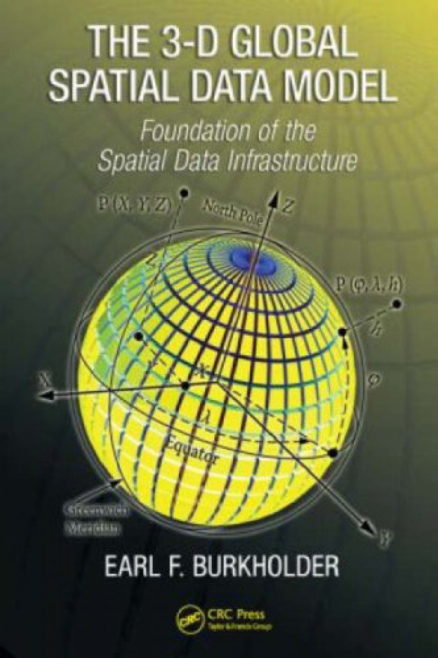
As the demand for spatial data products increases, the global spatial data model (GSDM) offers a new model for handling digital spatial data. It preserves the integrity of three-dimensional spatial data while providing additional benefits such as simpler equations, worldwide standardization, and the ability to track spatial data accuracy with greater specificity and convenience. Combining horizontal and vertical data into a single, three-dimensional database, 3D Global Spatial Data Model: Foundation of the Spatial Data Infrastructure provides a logical development of theoretical concepts and practical tools that can be used to handle spatial data more efficiently.
Contents
The Global Spatial Data Model (GSDM) Defined Spatial Data and the Science of Measurement Summary of Mathematical Concepts Geometrical Models for Spatial Data Computations Geodesy Overview From an Applications Perspective Geometrical Geodesy Geodetic Datums Physical Geodesy Satellite Geodesy & Global Navigation Satellite Systems (GNSS) Map Projections Using Spatial Data 3D Global Spatial Data Model (GSDM)
Customer Reviews
Out of Print
By: Earl F Burkholder
400 pages
presents a new model for collecting, handling, manipulating, storing; and-using 3-D digital spatial data with associated concepts, theories, and equations ! offers quick and well-organized information just like a recipe for the surveyor and geodesist, while it provides future development of spatial data structures for GIS specialists. --PHOTOGRAMMETRIC ENGINEERING & REMOTE SENSING, July 2009