To see accurate pricing, please choose your delivery country.
 
 
United States
£ GBP
All Shops

British Wildlife

8 issues per year 84 pages per issue Subscription only

British Wildlife is the leading natural history magazine in the UK, providing essential reading for both enthusiast and professional naturalists and wildlife conservationists. Published eight times a year, British Wildlife bridges the gap between popular writing and scientific literature through a combination of long-form articles, regular columns and reports, book reviews and letters.

Subscriptions from £33 per year

Conservation Land Management

4 issues per year 44 pages per issue Subscription only

Conservation Land Management (CLM) is a quarterly magazine that is widely regarded as essential reading for all who are involved in land management for nature conservation, across the British Isles. CLM includes long-form articles, events listings, publication reviews, new product information and updates, reports of conferences and letters.

Subscriptions from £26 per year
Academic & Professional Books  Natural History  Regional Natural History  Natural History of the Americas

Alaska: Map for Katmai National Park and Preserve

Series: Trails Illustrated Maps Volume: 248
By: National Geographic
Scale: 272Th and 82Th
Alaska: Map for Katmai National Park and Preserve
Click to have a closer look
  • Alaska: Map for Katmai National Park and Preserve Not in stock: Usually dispatched within 2-3 weeks
    £12.99
    #81551
Price: £12.99
About this product Customer reviews Related products

About this product

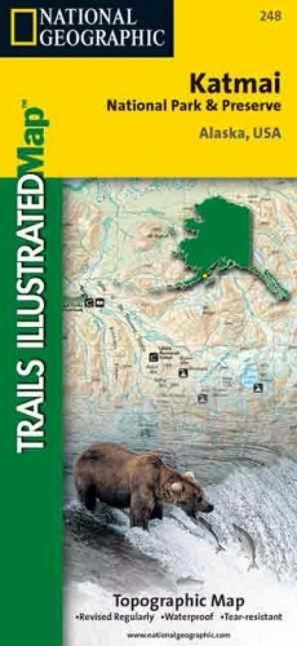
This two-sided map includes Katmai National Park and Wilderness in its entirety, Becharof National Wildlife Refuge, Becharof Wilderness Area, Alaska Peninsula National Wildlife Refuge, Alagnak Wild River Katmai National Preserve, McNeil River State Game Refuge, McNeil River State Game Sanctuary, Iliamna Lake, Kukaklek Lake, Naknek Lake, Kvichak Bay, Becharof LAke, Upper Ugashik Lake, Puale Bay, Katmai Bay, and the Shelikof Strait. Also included are Mt Katmai, Trident Bolcano, Novatupta, Mt. Mageik, Mt. Martin, Three Forks Overlook, and Brooks Camp. The map features Wilderness Safety tips, land use regulations, and information on how best to react to bear encounters. Beautiful cartography shows the mountains, rivers, marsh areas, and natural features of this spectacular land. Includes UTM tick marks for use with your GPS unit.

Approximately 4.25" x 9.25" folded; 26" x 38" fully opened
Scale = 1:300,000 & 1:125,000

Customer Reviews

Series: Trails Illustrated Maps Volume: 248
By: National Geographic
Scale: 272Th and 82Th
Current promotions
New and Forthcoming BooksNHBS Moth TrapBritish Wildlife MagazineBuyers Guides