Um genaue Preise zu sehen, wählen Sie bitte Ihr Lieferland.
 
 
United States
£ GBP
Alle Kategorien

British Wildlife

8 issues per year 84 Seiten per Ausgabe Nur im Abonnement erhältlich

British Wildlife is the leading natural history magazine in the UK, providing essential reading for both enthusiast and professional naturalists and wildlife conservationists. Published eight times a year, British Wildlife bridges the gap between popular writing and scientific literature through a combination of long-form articles, regular columns and reports, book reviews and letters.

Abonnement ab £33 im Jahr

Conservation Land Management

4 Auflagen im Jahr 44 Seiten Nur im Abonnement erhältlich

Conservation Land Management (CLM) ist ein Mitgliedermagazin und erscheint viermal im Jahr. Das Magazin gilt allgemein als unverzichtbare Lektüre für alle Personen, die sich aktiv für das Landmanagement in Großbritannien einsetzen. CLM enthält Artikel in Langform, Veranstaltungslisten, Buchempfehlungen, neue Produktinformationen und Berichte über Konferenzen und Vorträge.

Subscriptions from £26 per year
Akademische und professionelle Bücher  Natural History  Regional Natural History  Natural History of Africa

Arusha National Park, Tanzania: The Tourist Map

By: Veronica Roodt(Author)
colour photos, colour maps, scale 1 : 44 000, size unfolded 84 × 60 cm (W × H)
Arusha National Park, Tanzania: The Tourist Map
Click to have a closer look
  • Arusha National Park, Tanzania: The Tourist Map Not in stock: Usually dispatched within 2-3 weeks
    £20.83
    #211585
Price: £20.83
About this product Customer reviews Related products
Images Additional images
Arusha National Park, Tanzania: The Tourist MapArusha National Park, Tanzania: The Tourist Map

About this product

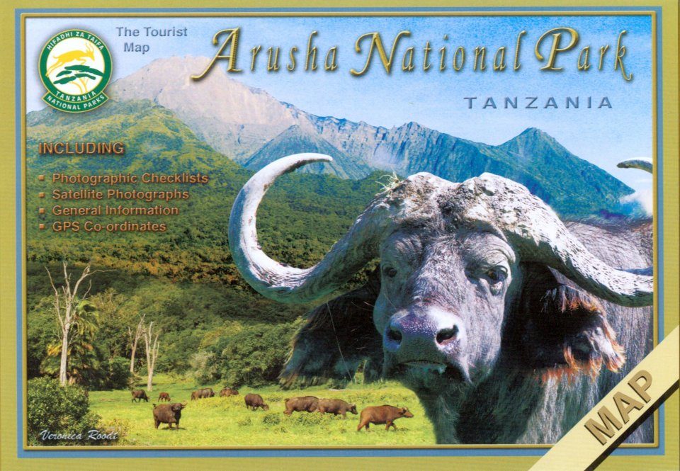
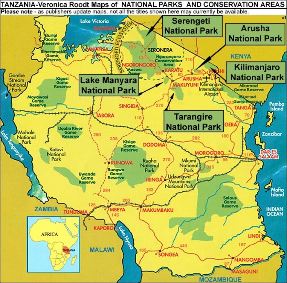
This park is in northern Tanzania. Satellite photos as a backdrop which shows an aerial view of the topography. Roads that have been tracked and measured by Veronica Roodt personally by means of a GPS. GPS coordinates of all the camps, lodges and important tourist attractions, important road crossings, bridges etc. Photographic animal, bird and plant checklists on the back of the map. All photographs were taken by Veronica whilst doing the field work for the maps. Information on geology, climate, how to get there, what to take, where to stay, road conditions etc. In the case of Arusha National Park there is information on climbing the mountain as well as a topographical map indicating the routes.

Customer Reviews

By: Veronica Roodt(Author)
colour photos, colour maps, scale 1 : 44 000, size unfolded 84 × 60 cm (W × H)
Current promotions
Field Guide SaleNHBS Moth TrapNew and Forthcoming BooksBuyers Guides