Click to have a closer look
About this book
Contents
Biography
Related titles
About this book
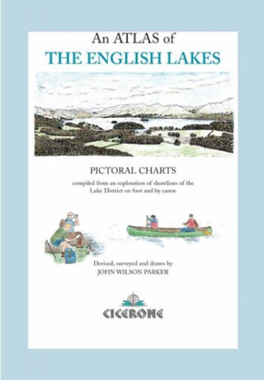
Compiled from the author's original surveys of the lakes of the English Lake District, this book has been meticulousy compiled, and every page contains a hand-coloured chart of the lakes and their surrounding shores.
Contents
General diagram Order of lakes' in Appearance Dedication Prologue Around the shoresSummary maps - South, West and North Lakes Introduction for Ramblers and Riders On the waterSummary maps - South, West and North Lakes Lake transport and boating Safety and weather Legend The Southern LakesIntroduction and supplementary notes Windermere charts I-VII Grasmere and Rydal water Elter water Esthwaite water Coniston water I-IV The Western LakesIntroduction and supplementary notes Wast water I-II Ennerdale water I-II Lowes warer Crummock water I-II Buttermere The Northern LakesIntroduction and supplementary notes Bassenthwaite lake I-III Derwent water I-II Thirlmere reservoir I-III Brothers water Ullswater I-IV Haweswater reservoir I-III AppendicesTables - Lake statistics Map - Geology and former lake extents Index - Rivers and streams Index - Minor tarns and river features Index - Headlands and Bays Index - Islands Map - Counties, Districts and Lake Parishes Select bibliography Information centres, Organisations Epilogue Legend and scales
Customer Reviews
Biography
A keen cyclist, then fell-walker and mountaineer, John Parker spent all his working life as a cartographic surveyor with the Ordnance Survey, including an extended spell in Cumbria, to which he returned after early retirement during 1992. In late 1996 he began to survey the lakes for his own interest as a canoeist. The result is a set of detailed charts that record the lakes down to rocks, islets, reeds and shingle, as well as the routes running closest to the shorelines
Atlas
Out of Print
By: John Parker
102 pages, Col maps
'A Canadian canoe, a career as an Ordnance Survey cartographical surveyor, a passion for fell walking, and an enquiring mind lie behind John Wilson Parker's book, a unique volume that combines beauty, practical advice and a good deal of information. It is essentially a series of pictorial charts compiled from an exploration of the shore lines of the lakes on foot and by canoe. Statistically that adds up to 124 miles of water's edge, 250 miles of paths and roads, and seventeen lakes covered by fifty-seven charts. Introductory notes put each lake into perspective. The story of Derwentwater, for example, includes references to St Kentigern, mining, the islands, the National Trust and Hugh Walpole. Two charts, typical in their detail and artwork, cover Derwentwater. Keswick and its facilities are included, along with everything from well-known landmarks and buildings to shoreline features and the natural scene. Sadly Lingholme Gardens are no longer open to the public but disappointed visitors might try locating Joe Barron's Pool or Dick Tyson Island. Although it is primarily aimed at canoeists (surely they wouldn't dream of taking it on board), this meticulous and elegant survey is for all who love the Lakes. Practical in its coverage for water-borne enthusiasts, it is also certain to please armchair browsers.' (George Bott, The Keswick Reminder, September 2002) 'This book is very different from Cicerone's usual pocket book format, a large hardback with a typeface which is based on the author's own handwriting to go with the hand drawn and tinted maps. 57 charts cover 17 lakes and 200km of shoreline at a scale of about 1:10,000. The author is a former OS surveyor who has researched the area at this scale. Following retirement he has done so again on foot and by canoe wherever permitted. The book is primarily for canoeists but also for walkers and any other visitors to this popular area. There is a great deal of detail, every significant post and item of interest, backed up with local history. It is all very precise and wonderfully pedantic in places, the sort of book where you would think twice before questioning any of his statements. Even Arthur Ransome names are given and there are sketches of views of interest. All water features are shown in colour but land features are only coloured where there is public access. For parking and launching sites it is indicated whether there are charges and often how quickly parking fills up. The water access position is shown for each lake and the location of a BCU river access notice is given. Boat hire points are shown and the author even distinguishes between kayak hire and open canoe hire. For visitors to the Lakes this is a most unusual and attractive presentation and we are pleased to have been one of the author's sources of information.' (Canoeist, November 2002)