United States
£ GBP
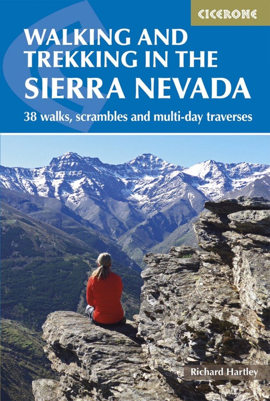
This guidebook presents 33 graded walks and 5 high mountain scrambles in the striking Sierra Nevada, the highest mountain range in mainland Spain and in western Europe outside the Alps. Easily accessible from Granada and Málaga, it is a world of soaring, snow-clad peaks and deep valleys, far removed from the crowded beaches of the Costa del Sol just two hours away. The routes are spread across the national park, with attractive towns and villages such as Trevélez, Lanjarón, Hoya de la Mora and Cumbres Verdes serving as potential bases for a walking holiday.
The walks have been carefully chosen to showcase the Sierra Nevada's dramatic scenery, taking in barren rocky peaks, lush green valleys, arid badlands and tranquil lakes. From more leisurely outings in the Cumbres Verde area to ascents of mainland Spain's highest summit, Mulhacén, there are routes to suit a range of abilities, although most require a reasonable degree of fitness, navigational skill and experience of high mountain terrain. Whilst some are day or half-day walks, others take advantage of the region's network of mountain shelters or offer an opportunity to wild camp. Also included are three longer traverses: 'Los Tres Picos' (the Spanish Three Peaks – Veleta, Mulhacén and Alcazaba), 'Los Tres Miles' Integral (a multi-day trek covering all the major 3000 m peaks in the range) and an overview of the 302 km Sulayr GR240. The walks can be enjoyed most of the year, however conditions may prove too hot at the peak of summer and extra care and equipment will be required in snow or ice: the descriptions assume summer conditions, but include additional notes for winter walking.
The guide also includes advice on transport, bases and safety, a tick-list of the 3000 m peaks and a Spanish-English glossary. Information on plants, wildlife and local points of interest will further enhance your visit and the glorious colour photos provide a taste of what the region has to offer. For those who like their mountains rough and rugged, Walking and Trekking in the Sierra Nevada is a perfect companion to escaping the crowds and discovering a different side to Andalucía.
Introduction
Plants and wildlife
Climate and conditions
Getting to the Sierra Nevada
Getting around
Accommodation and bases
Respecting the environment
Safety and rescue
Water sources
Weather resources
Planning and maps
Using this guide
Walks
Trevélez
Route 1 Ascent of Alcazaba via Cañada de Siete Lagunas
Route 2 Ascent of Mulhacén via Cañada de Siete Lagunas
Route 3 Round of the Río Juntillas and Trevélez valleys
Capileira
Route 4 Barranco de Poqueira circular
Route 5 Ascent of Mulhacén from Hoya del Portillo
Refugio Poqueira
Route 6 Ascent of Mulhacén from Refugio Poqueira
Route 7 The Caldera peaks
Route 8 Around Mulhacén via the Vasar and Siete Lagunas
Route 9 The Púlpitos
Western Alpujarras
Route 10 Pico del Tajo de los Machos and Cerrillo Redondo
Route 11 Ascent of Cerro del Caballo from the south
Route 12 Ascent of Cerro del Caballo via los Tres Mojones
Dílar valley
Route 13 Silleta de Padul
Route 14 Integral de los Alayos
Cumbres Verdes
Route 15 Boca de la Pesca
Route 16 Trevenque via Cuerda del Trevenque
Route 17 Circuit of Trevenque and Dílar valley
Route 18 The Cerro Huenes group
Route 19 Pico del Tesoro and Cerro del Cocón
Route 20 Trevenque direct
Ski area – Hoya de la Mora
Route 21 Veleta, Tajos de la Virgen and Lagunillas
Route 22 Veredón Superior and Cerro de los Machos
Route 23 Veredón Inferior, Veta Grande, northern flanks and lakes
Route 24 Across the mountains to Lanjarón via Refugio Elorrieta
Vereda de la Estrella/Genil valley
Route 25 Vereda de la Estrella, Refugio Cucaracha and Cueva Secreta
Route 26 Cortijos del Hornillo circular
Route 27 Ascent of Mulhacén via Cueva Secreta
Route 28 Round of the northern peaks via Peña Partida
Jérez del Marquesado and Refugio Postero Alto
Route 29 Ascent of Picón de Jérez and round of the Alhorí valley
Puerto de la Ragua
Route 30 The eastern peaks
Main ridge traverse and longer treks
Route 31 ‘Los Tres Miles’ Integral 3000m peaks
Route 32 ‘Los Tres Picos’ – Veleta, Mulhacén and Alcazaba
Route 33 The Sulayr GR240
High mountain scrambles
Route 34 Espolón de Alcazaba
Route 35 Traverse of Puntal de la Caldera
Route 36 Espolón de la Caldera
Route 37 Arista de las Campanitas
Route 38 North ridge of Tozal del Cartujo
Appendix A List of the 3000 m peaks
Appendix B Accommodation
Appendix C Useful contacts
Appendix D Glossary
Appendix E Further reading
Richard Hartley has lived in Lanjaron in the Sierra Nevada since 2002. He is the owner of a local company which runs mountaineering, snowshoeing and ski-touring trips in the Sierra Nevada and, further afield, organize regular expeditions to the Southern Patagonian Icecap.
The Nevadas are a long, curved ridge, 100km in length, which reach a maximum height of 3,482m near Granada, at the eastern end. The Author describes them as like the Black Cuillin on Skye, without the mist! He outlines 45 routes, from easy half day walks to arduous multi-mountain expeditions. Good introduction, maps, photos and glossary, and strong weather-resistant covers. Walking World Ireland, May/June 2006 'This guide is a second edition of one first published in 1996 and was necessitated by the significant developments in road access and mountain accommodation in the region. The guide is clearly presented, contains a useful introduction and is well illustrated. It will be invaluable to visitors to the area.' Irish Mountain Log Magazine, Summer 2006