United States
£ GBP
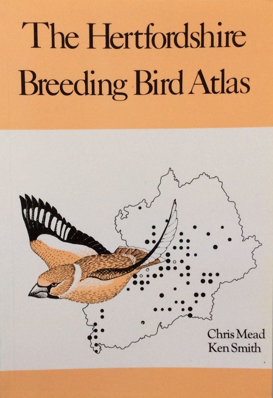
This informative book provides the first detailed maps of the breeding distribution of birds in Hertfordshire. The 112 species maps are plotted using the tetrad system based on the National Grid which appears on all Ordnance Survey maps. Over 200 birdwatchers contributed more than 50,000 records of birds which have been pooled to produce the final maps. On average each of the county’s 504 tetrads held more than 51 species of breeding birds. The Hertfordshire results for each species are compared with those for other local Atlas projects and with the National data for Britain and Ireland, France and the Netherlands. In addition, for many of the common species, graphs are included showing fluctuations in the breeding population over the last twenty years. The opening chapters describe the county, its geology and habitats and use maps, based on the same tetrad grid, to plot habitats such as woodlands, arable and grassland and physical features such as altitude and geology. The book also contains a complete list of the birds recorded in Hertfordshire to the end of 1979.
The book is embellished with many delightful illustrations, specially drawn by Kevin Baker. The authors and Kevin all work at the British Trust for Ornithology whose headquarters are at Tring in western Hertfordshire. The BTO pioneered the scientific mapping of breeding bird populations in Britain.